
Val du Petit Morin
Tra Côte des Blancs e Côte de Sézanne, lungo il Petit Morin e le paludi di Saint-Gond: Chardonnay e Meunier
- Villaggi
- 22 comuni · 3 Premier Cru · nessun Grand Cru
- Vigne
- ≈ 1.000 ha · 744 viticoltori (UMC)
- Vitigni
- Chardonnay ≈ 55% · Meunier ≈ 35% · Pinot Noir ≈ 10% (UMC)
- Terroir UMC
- Val du Petit Morin (nella Côte des Blancs allargata)
- Città
- Épernay a nord, Sézanne a sud-ovest
- Suoli
- Gesso campaniano sotto le torbiere delle paludi di Saint-Gond


The Val du Petit Morin brings together twenty-two communes in the Marne between the Côte des Blancs and the Côte de Sézanne. The Petit Morin rises at Val-des-Marais, in the Saint-Gond marshes, and flows west for 86 kilometers before joining the Marne at La Ferté-sous-Jouarre; the vineyards lie in its upper basin. The marshes are a vast alkaline peat bog, about twenty kilometers long, over eighty meters of chalk, and villages such as Congy, Villevenard and Val-des-Marais look out over them from the slopes: at the foot of the vineyards stretch 3,200 hectares of peatlands.
According to the UMC, the vineyard covers about 1,000 hectares and has more than 700 winegrowers: Chardonnay accounts for just over half, Meunier for more than a third, and the rest is Pinot Noir. Villevenard, Fèrebrianges, Vert-Toulon, Villeneuve-Renneville-Chevigny, and Étoges are the communes with the most vineyards, each covering around a hundred hectares. L'Union des Maisons de Champagne considers the Val du Petit Morin part of an expanded Côte des Blancs, together with the Côte de Sézanne, the Vitryat, and Montgueux; its tables also include Voipreux, which our map shows in the Côte des Blancs.
Three villages are Premier Cru: Coligny, now part of Val-des-Marais, Étréchy, and Villeneuve-Renneville-Chevigny; none is Grand Cru. History here is older than the vineyards: more than a hundred Neolithic hypogea and ancient flint mines excavated in the chalk can be found around the marshes, and between 1842 and 1844 a glassworks in Joches made bottles for Champagne by burning local peat. From September 5 to 9, 1914, the marshes were one of the battlefields of the First Battle of the Marne, and around twenty villages were destroyed.
For STELT, the Val du Petit Morin is represented by Étoges.
Val du Petit Morin · the villages
-
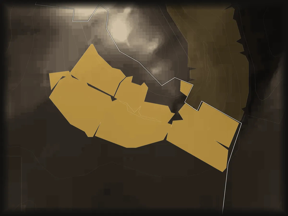
Premier Cru di solo Chardonnay sui fianchi meridionali del Mont Aimé, nel comune di Val-des-Marais.
No wines at the momentOn the map → -
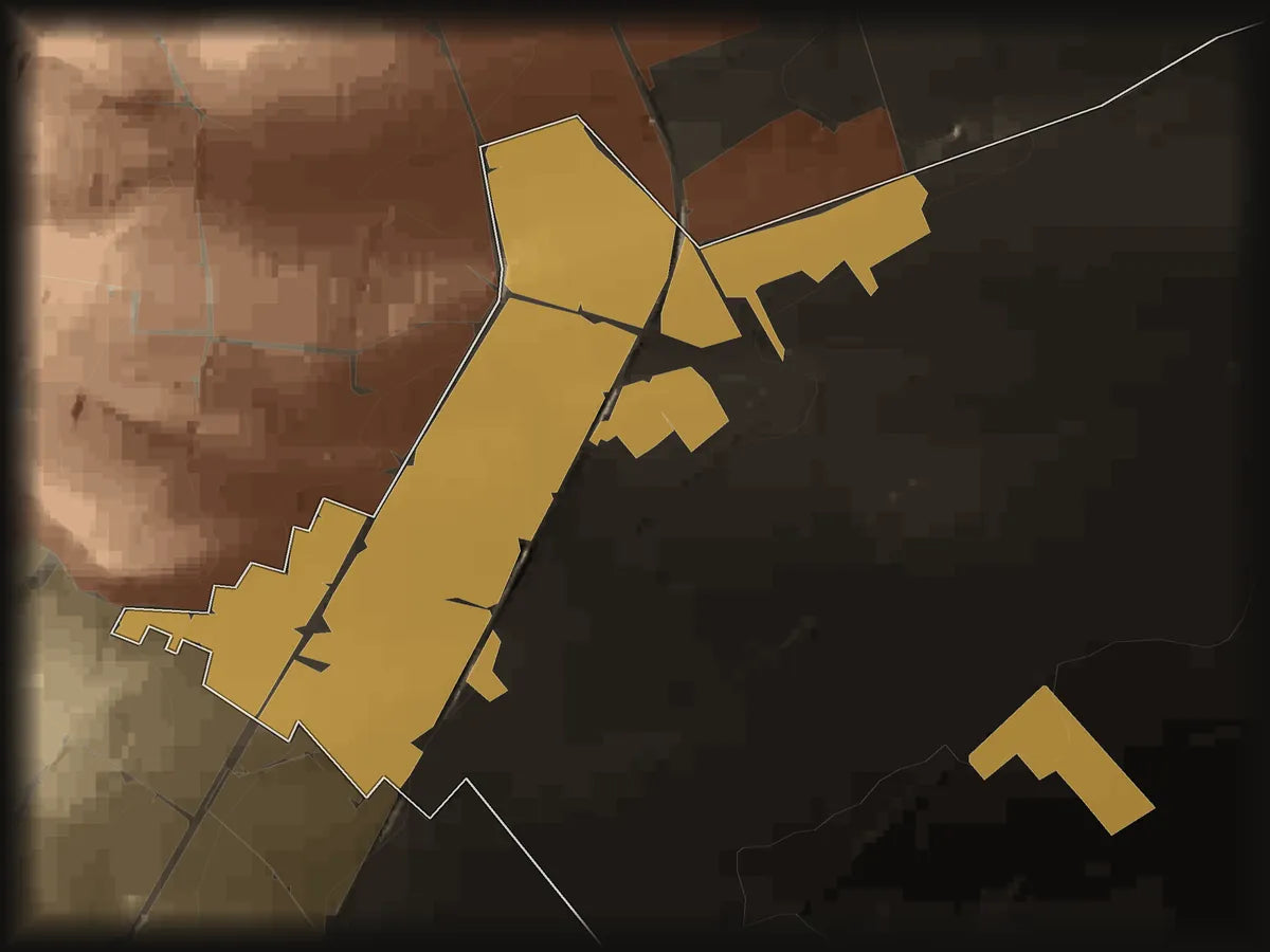
Premier Cru di Chardonnay quasi in piano, ai piedi della Côte des Blancs, accanto a Le Mesnil-sur-Oger.
No wines at the momentOn the map → -
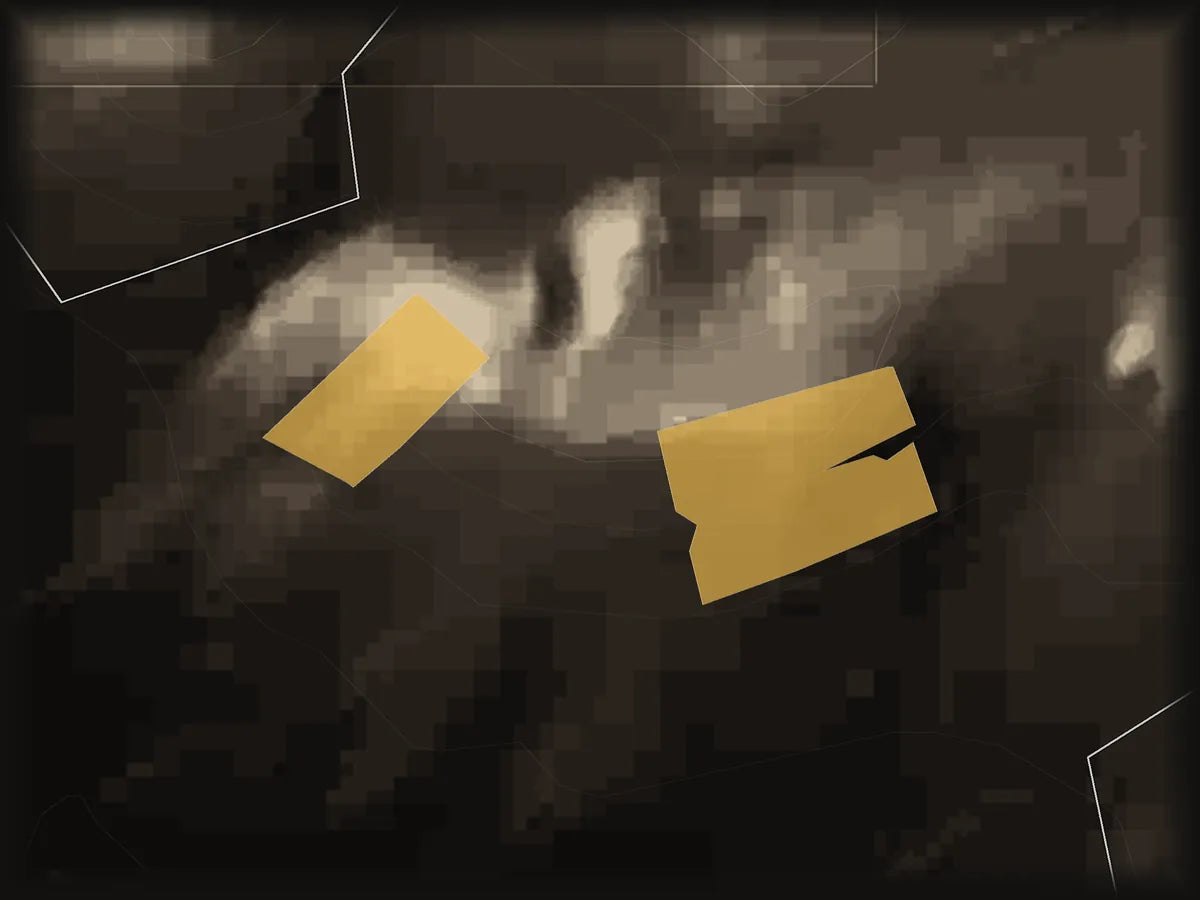
Minuscolo Premier Cru di solo Chardonnay: meno di 10 ettari in alto, vicino a Bergères-lès-Vertus e Vertus.
No wines at the momentOn the map → -
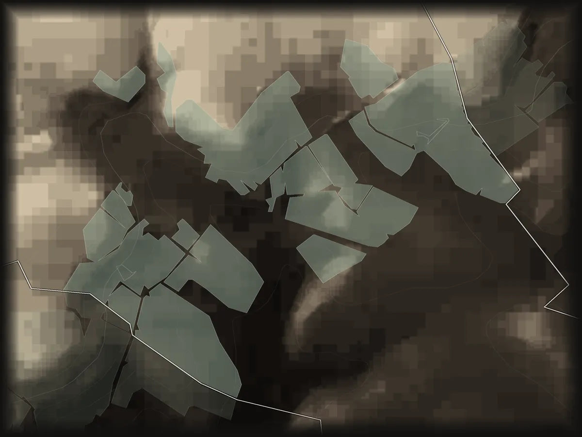
Villaggio del Val du Petit Morin: Meunier, Chardonnay e Pinot Noir attorno a un castello con fossato.
3 winesOn the map →
Credits and sources. Photo: Litlok · CC BY-SA 4.0 · Wikimedia Commons. Map: IGN (RGE ALTI®, BD TOPO®, ADMIN EXPRESS) · Licence Ouverte 2.0.


